|
Historical Note Gorrenberry lies in the valley of the Goranberry is marked on H. Moll’s 1732 map (http://maps.nls.uk/view/?id=216) in Liddesdale, with its northern march on the boundary with Roxburghshire. It is also shown on John Thomson’s Atlas of Scotland, 1832, as Gorronberry or Gorrenberry (http://maps.nls.uk/atlas/thomson/view/? ) in Castletown Parish. The Bartholomew Survey Atlas of Scotland, 1912 shows Gorrenberry. (http://maps.nls.uk/atlas/bartholomew/view/?id=1165. Gorrenberry farm was until the 1970s part of the Buccleuch Estates. On Gorrenberry itself there are no important historic buildings still standing..
Gorrenberry Tower was a small tower house at 55.266827N, 2.845836W. No structural
remains can now be seen but there was reported to be a slight rectangular mound,
about 11.0m E- The history of the Hermitage Valley is very much tied up with that of Hermitage Castle which lies to the east of Gorrenberry. The history of this important national monument and the lands around it have been reported in a fascinating monograph by Professor Richard Oram of Stirling University (Report of Hermitage Castle). |
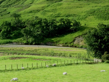 Hermitage Water at the heart of Reiver country.
It is an area redolent with romantic tales and legends. For the last few centuries
members of the Elliot and Scott families have lived here and several Elliots and
Scotts still farm in and around the valley.
Hermitage Water at the heart of Reiver country.
It is an area redolent with romantic tales and legends. For the last few centuries
members of the Elliot and Scott families have lived here and several Elliots and
Scotts still farm in and around the valley.